
Tivoli Bays is one of four sites in the Hudson River National Estuarine Research Reserve.
Extending two miles along the eastern shore of the Hudson River, Tivoli Bays allows for extensive hiking and recreation through incredible wetlands that support a rich ecosystem of fish, wildlife, and plant species.
Tivoli Bays protects some of the healthiest, best examples of intertidal and tidal swamp in the Hudson River estuary. Between the villages of Tivoli and Barrytown, this site encompasses a rich tapestry of coves, marshes, uplands, shoreline, bedrock islands, and tributary mouths for scientific research and public recreation.
Tivoli Bays is also part of the New York State Birding Trail, which highlights world-class birding opportunities across the state. Interpretive kiosks are available for Tivoli Bays visitors.
For more information on the Tivoli Bays site including the site map, rules, restrictions, and guidelines for allowed uses, visit the DEC website.
Open for Recreation: Year-round
Fee: Free
Allowed Uses: Parking, Boat Launch, Paddling, Biking, Hiking, Wildlife Watching, Fishing, Hunting and Trapping. Allowed uses may be seasonal or subject to other restrictions.


Visit Tivoli Bays
Directions
All coordinates provided are in decimal degrees using NAD83/WGS84 datum.
Kidd Lane Parking Areas
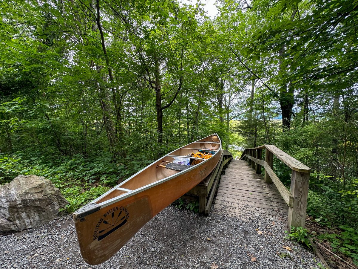
Provides access to the Tivoli North Bay trails and a canoe launch (42.046229°N, 73.906715°W) Google Maps.
From south of Tivoli: Take Route 9G north and pass Bard College signs and the sign for Route 103. Pass sign on left for DEC Tivoli Bays Wildlife Management Area, then turn left onto Kidd Lane. Turn left at another sign for DEC Tivoli Bays Wildlife Management Area. Follow dirt access road down the hill approximately 0.7 miles and park in second parking area on right (first parking area is at beginning of access road).
From north of Tivoli: Take Route 9G south. Pass signs for Route 78 and town of Tivoli. Go approximately one more mile and turn right onto Kidd Lane. Follow the directions as stated above from Kidd Lane.
NOTE: The parking lot at the cul-de-sac at the bottom of the hill is reserved for car-top boat loading and unloading only.
Route 9G Parking Area
Parking and trailhead (42.036074°N, 73.895156°W) Google Maps.
From south of Tivoli: Take Route 9G north and pass Bard College. Shortly after Route 103 on the left, there will be a DEC sign for Tivoli Bays Wildlife Management Area. Turn left into the parking lot here. There is a kiosk and trailhead. If you get to Route 79 on the right you have just missed your turn.
From north of Tivoli: Take Route 9G south past Tivoli. Pass Kidd Lane on your right, Route 79 on your left, and turn right into the parking lot at the sign for the DEC Tivoli Bays Wildlife Management Area. There is a kiosk and a trailhead.
Cruger Island Road Parking Areas
Provides access to Tivoli North and South Bay trails (42.027691°N, 73.908965°W) Google Maps.
From Red Hook and points east: Take Route 199 to Route 9G north. Go through one light and make a left onto Route 103. When the road curves, stay straight on the gravel road to go past the large red building on your right. There will be three small parking areas where you can access trails and the future barrier-free viewing platform of Tivoli North Bay.
From the south: Take Route 9G north towards Bard College. Make a left onto Route 103 toward the Bard Performing Arts Center. Follow the directions as stated above from Route 103.
From the north: Take Route 9G south past Tivoli towards Bard College. Make a right onto Route 103 toward the Bard Performing Arts Center. Follow the directions as stated above from Route 103.


